Backpacking Around Mt. Hood
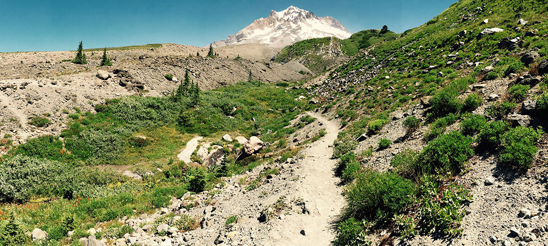
The Timberline Trail is an approximate 38 mile hiking trail that circumnavigates Mt. Hood in the Oregon Cascades. It’s one of the more beautiful trails in the Pacific Northwest with spectacular meadows, waterfalls and views of Mt. Hood from every angle.
Distance: 38 miles
Starting point: Timberline Lodge Trailhead
Ending point: Timberline Lodge Trailhead
Difficulty: Difficult
Elevation gain: 8,000 ft
High point: 7,350 ft
Best time of year: Summer to early Fall
We did this trail in two nights, three days last summer. Depending on your fitness and hiking preferences, you may want to devote anywhere from two to four days to complete the Timberline Trail. On the extreme side, I’ve known adventurous folks who have run the entire trail in a day. One thing to note is that the distance varies by source, ranging anywhere between 36-39 miles. Here’s a trail description and map from the Forest Service.
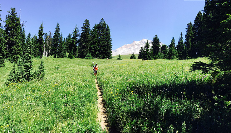
This is a spectacular hiking trail with 360 views of Mt. Hood. You’ll definitely earn those views as you navigate the canyons and river crossings throughout the 38 mile trail. We started at the Timberline Lodge Trailhead (you can park overnight next to the guardrail on east side of the main parking lot) and hiked clockwise, which is the most common route. The trail starts on the Pacific Crest Trail, which is the obvious trail west of the lodge.
There are numerous river crossings – some hard and some easy. Be sure to bring river shoes (we brought lightweight sandals) and trekking poles can help in the stronger currents. About 10 miles in is Ramona Falls, which is a very scenic and popular destination.

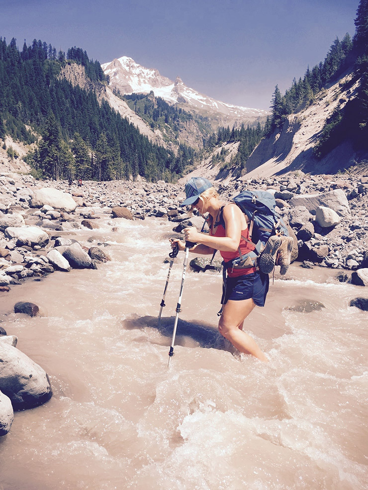
By far the most difficult section was around the Elliot Creek crossing (about 24 miles in), which has been washed out and is laborious to navigate. (Here’s a detailed description of the Elliot crossing that helped us). The trail is technically closed here, but there is an alternative route into the Elliot Creek basin that includes lowering and climbing via ropes. We ended up hiking farther up Elliot Creek to more shallow water (where the creek splits into two), but then lost the trail after climbing back up the opposite side of the basin. Eventually, we cut off the trail we were on (most likely the Cloud Cap trail), hiking west cross country until we regained the Timberline Trail.
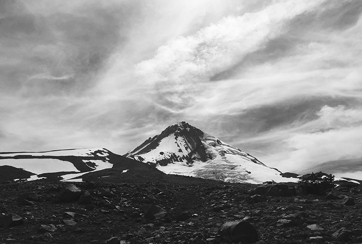
The next section of the trail is particularly scenic as you’re above tree line and climb up to the Timberline High Point at 7,350 ft (the highest point on the trail). There are a couple streams up here for water, but if you’re hiking this in late Summer, you may want to fill up at Elliot Creek.
We also lost the route after the Heather Creek crossing, about 33 miles in – venturing too far downstream after crossing and missing the trail. In order to regain the trail, we decided to hike up the Heather Meadows lift line to intersect the Timberline Trail. I do not advise this… In hindsight, we should have just recounted our steps and backtrack to the trail. Our “hike” up the lift line included 5th class climbing up roots, downed trees and thick brush.
Thankfully, Mt. Hood Meadows is only about 5 miles from Timberline and a beautiful end to the hike.

